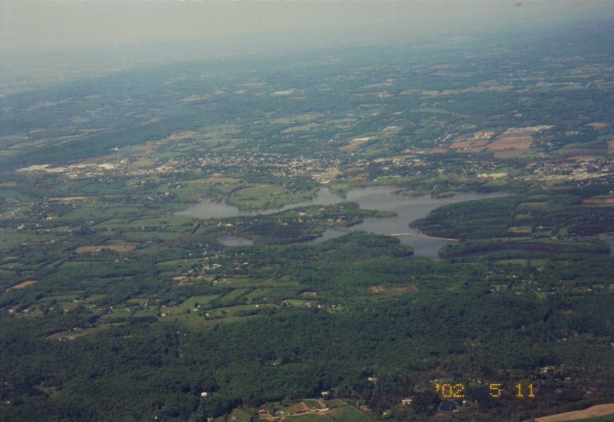
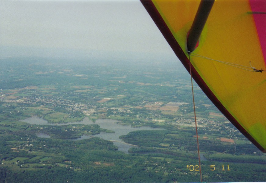
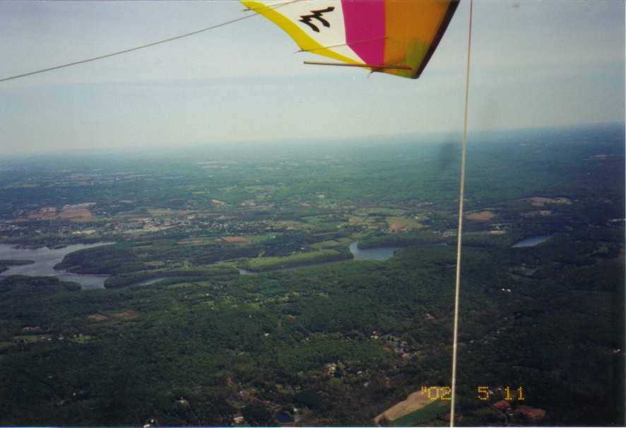
A few shots of Green Lane Reservoir
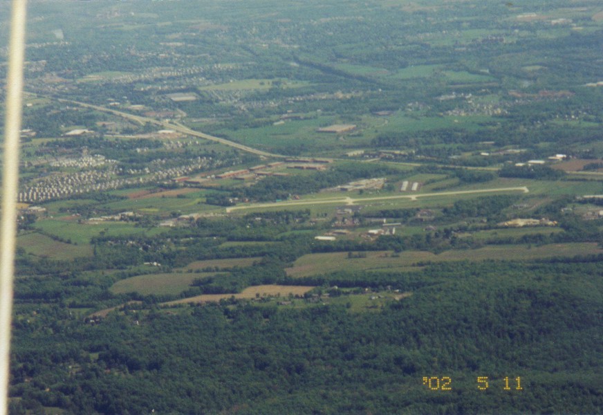
Limerick Airport to the South
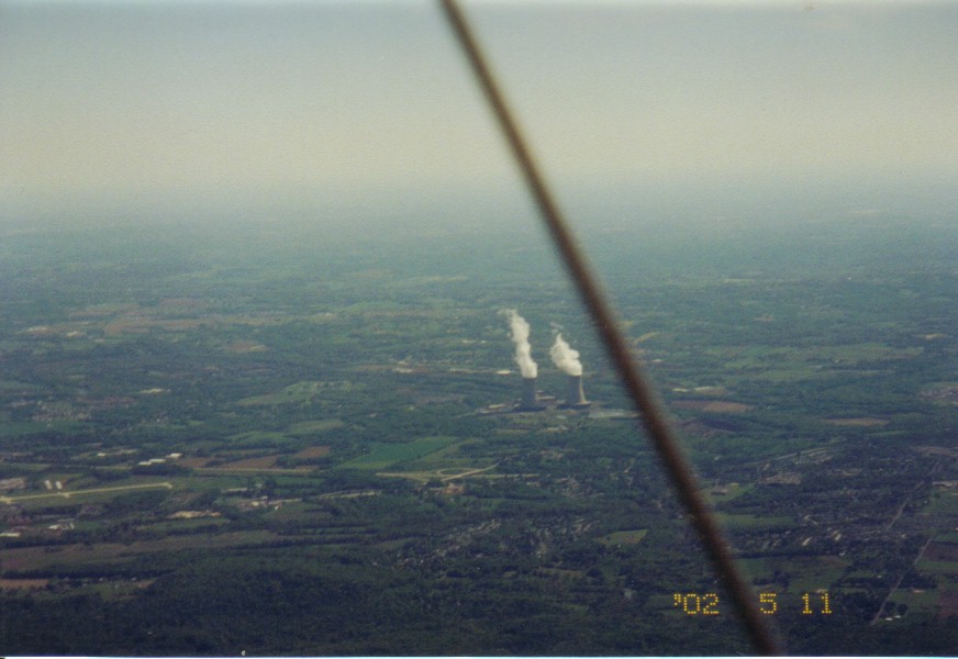
Limerick Towers to the South
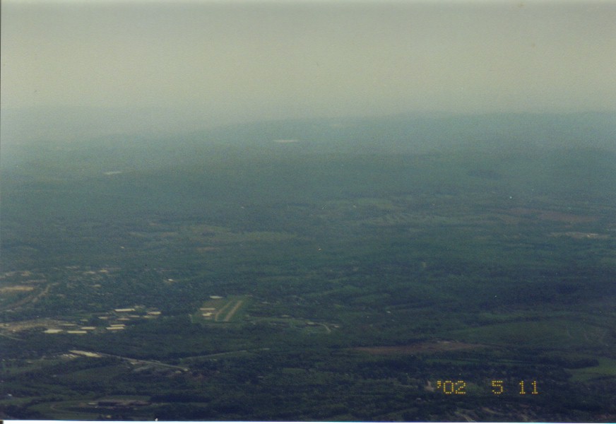
Pottstown Memorial Airport to the South-South West
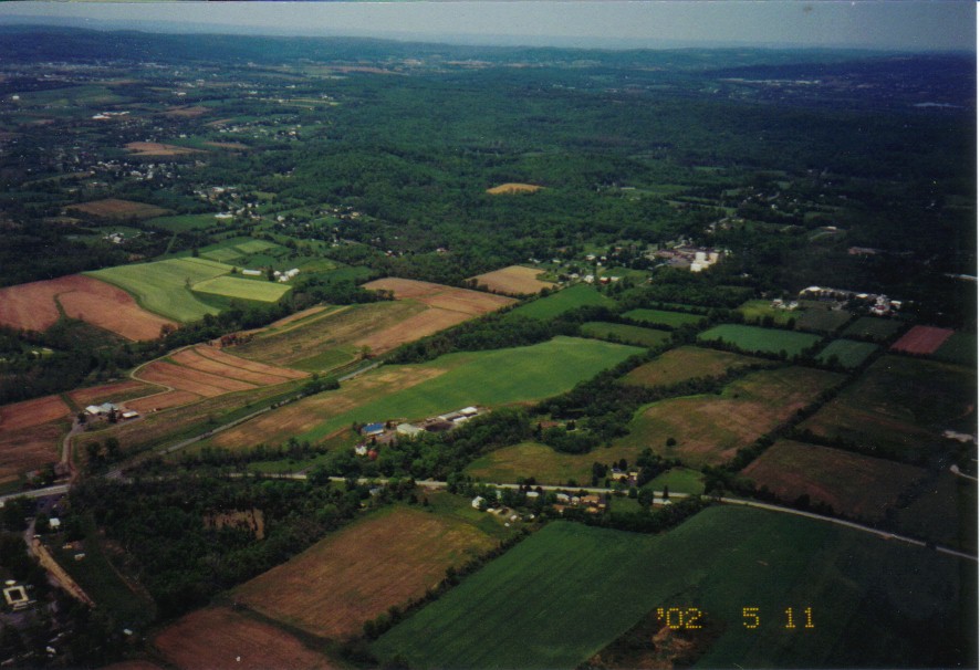
They want to put a quarry in here big enough to fill most of the picture. Looking to the North-North West (you can see the reservoir on the right).
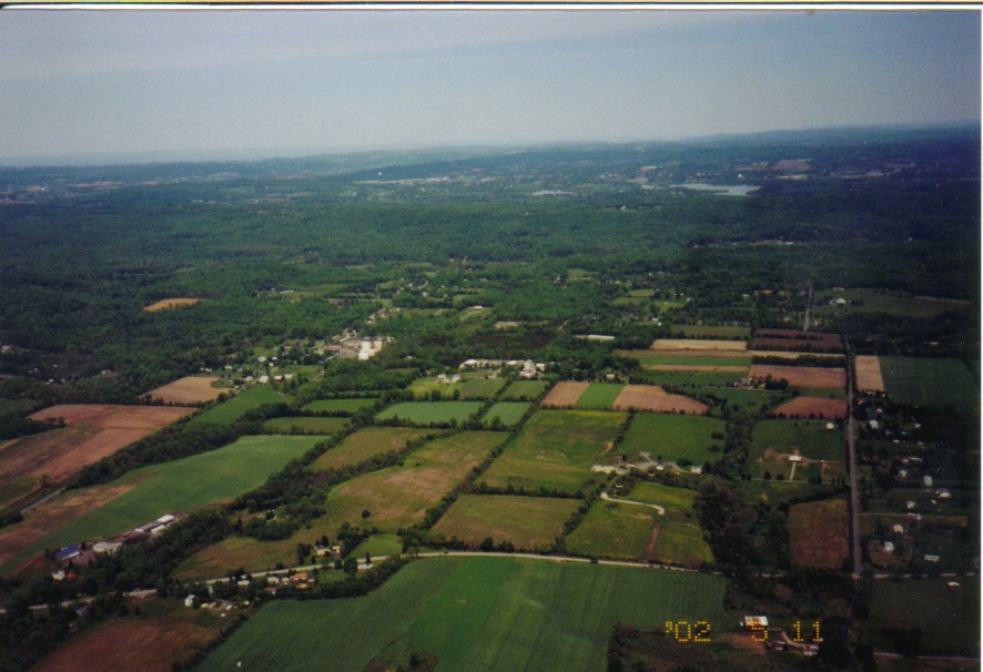
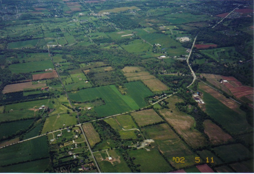
Looking to the North-North East. The quarry will fill the area north of Route 73 (the road at the bottom of the picture), east of 663 (the road on the left that you can see part of through a brake in the trees on the lower left), west of Church Road (the road running up the right side) and it will go back almost to the hill in the distance. Isn't our township wonderfull?
This is looking to the South West. The large set of fields outlined by the roads at the edges of the picture is about half the size that the final quarry will be. It will continue under the position that I am currently above.
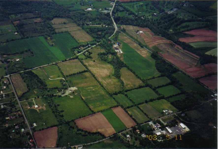
Another shot of almost the same perspective as above.
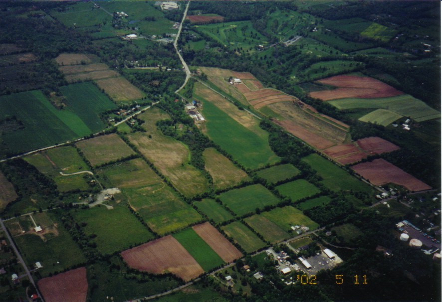
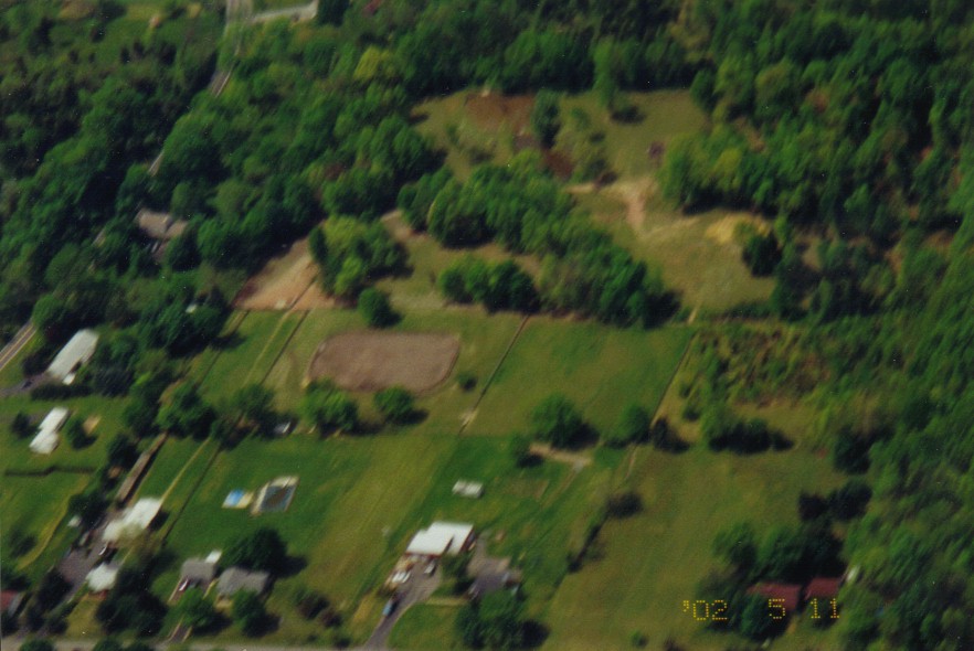
My yard is visible in this picture although it's near the top and slightly left of center.
A blurry shot of "Outlaw Farm"
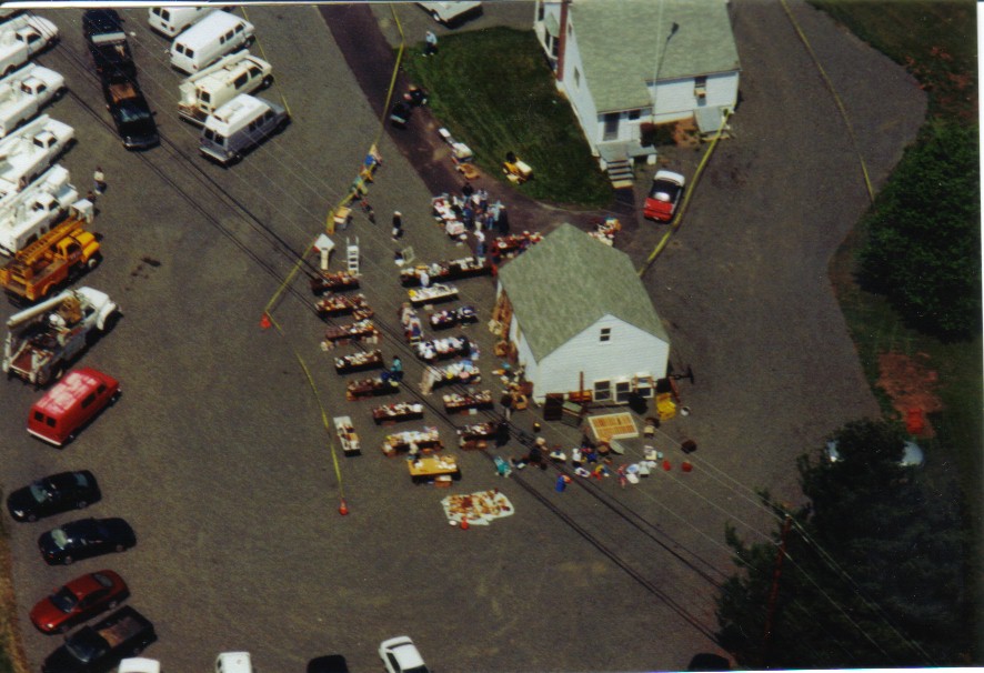
Another shot from a different day but this one is from the ban the quarry yard sale. Can you pick out my wife in the picture?